Skip to Main Content

Enterprise Systems & Analytics is a department within the City of Leduc that is responsible for maintaining a comprehensive mapping system and the use of technology that allows the city to view, understand, question, interpret, and visualize data in many ways that reveal relationships, patterns, and trends in the form of maps, reports, and charts.

Geographic Information System or GIS, is used to solve problems related to urban planning, environmental management, transportation, health care, economy, and public safety. GIS takes information from a database about a location, such as streets, buildings, water features, and terrain, and turns it into visual layers. The ability to see geographic features on a map gives a better understanding of a particular location, enabling planners, analysts, and others to make informed decisions about their communities.

Currently, the department maintains over 275 thousand pieces of mapping information in over 140 different categories. These pieces of information are used to respond to over 500 mapping requests per year. These requests come from citizens, businesses, city departments, community groups, nonprofits/academic agencies, and other government agencies.

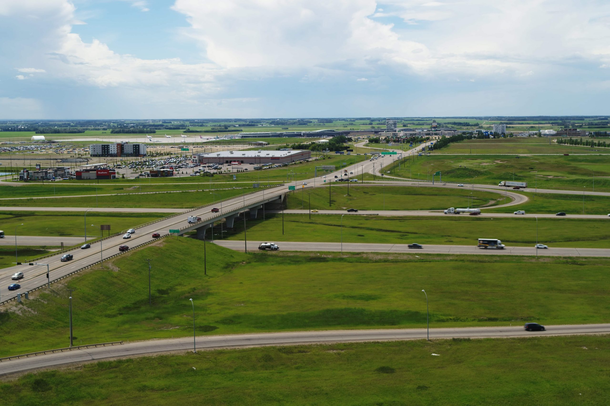
Aerial view of a highway interchange in a green landscape with scattered vehicles and buildings under a partly cloudy sky.

Geomatic Services creates and provides maps and data available to the public:

  • A variety of hard copy and paper maps
  • Digital products:
    • Colour or black and white orthophotos
    • Streets
    • Contours
    • Water Utilities

For the following digital products, contact the respective provider:

  • Gas Utilities (Apex Utilities)
  • Electric Utilities (Fortis)
  • Cadastral (AltaLIS)
  • Non-city-owned Fibre Optics Network (Rogers, Bell, Telus)

For a complete list of products and services available, email [email protected].

  • First GIS system established in the late 1990s
  • Leduc’s GIS technology has gone through three major upgrades
  • Leduc’s GIS technology is used by the various departments as part of their decision making processes
  • Leduc’s online Assessment Value Map was launched in 2009
  • Since 2003, the City of Leduc has partnered with other metro-Edmonton municipalities on initiatives to increase information-sharing while reducing costs.
  • The City of Leduc currently participates in a project with 20-plus regional partners that produces GIS compatible air photos for an area almost half the size of Prince Edward Island.